WaterMarks: An Atlas of Water and the City of Milwaukee
With three rivers—the Milwaukee, Kinnickinnic, and Menomonee—and Lake Michigan, water plays a key role in Milwaukee’s history, identity and economy. WaterMarks: An Atlas of Water and the City of Milwaukee is a city-wide public art project developed by Artist Mary Miss that invites the citizens of Milwaukee to explore and understand the water systems that support their lives.
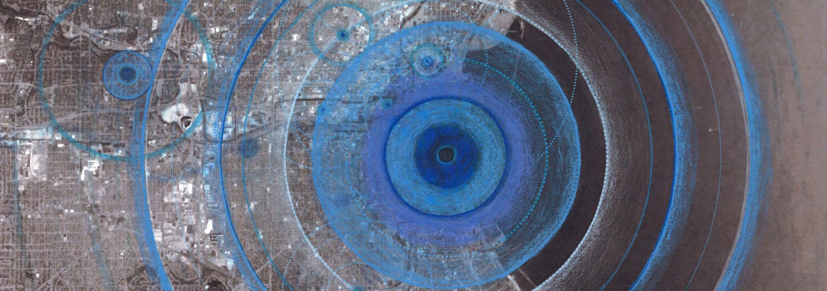
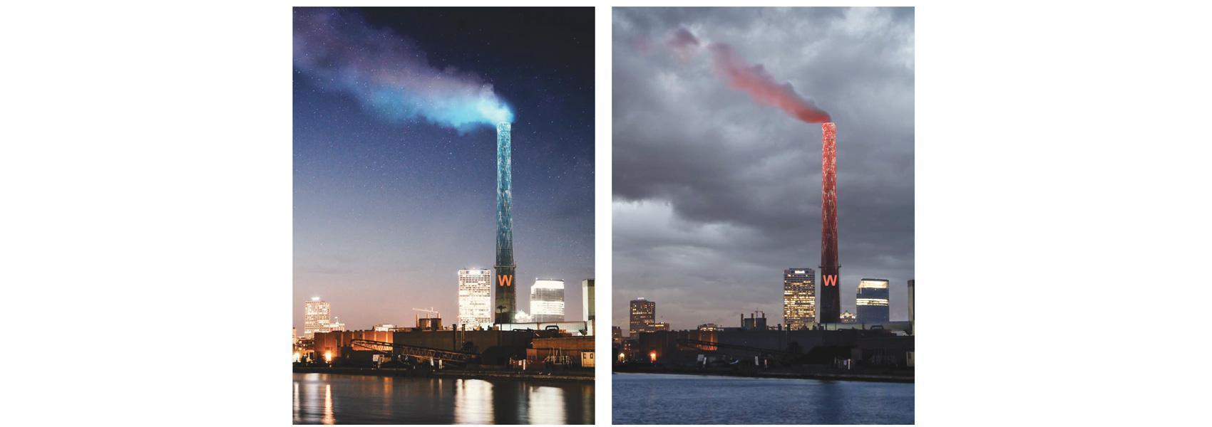
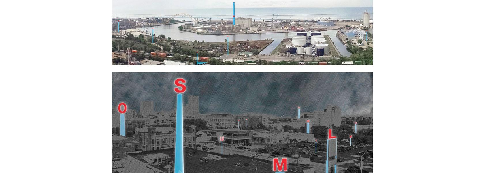
Miss' socially engaged art practice and methodology, known as City as Living Laboratory, utilizes art installation to call attention to issues related to social, cultural, and environmental sustainability. The physical manifestation of the WaterMarks project—a multi-layered and urban-scaled atlas—will be developed over time as part of an inclusive, citizen-focused process. For a full description, including designs, of the WaterMarks project.
You can watch the short video below, which describes the project.
In 2016, the Haggerty Museum of Art received funding from Marquette University’s Strategic Innovation Fund to work with Mary Miss and CALL to advance WaterMarks from a general concept to a detailed, final plan. In addition, the Haggerty received a $146,404 Community Catalyst grant from the Institute of Museum and Library Services.
With this, from 2017 through 2019, the museum was able to activate key nodes in the Watermarks atlas. This was done through a series of interdisciplinary neighborhood walks and workshops, which were developed in collaboration with the:
These programmatic interventions will engage citizens in conversation with artists and scientists about water issues, infrastructure and conservation—viewing the connections between ourselves, the land, the lake, and the rivers through the unique perspective of the arts.